
DiPlay - 0.2.15 public preview
A CarPlay receiver for compatible BYD Android head units, with USB and wireless connections. Public preview with experimental authentication and compatibility limits.

An open-source offline map for place search, route planning, and voice navigation on Android and iOS.
61.17 MiB0 Already downloaded Mobile view
Organic Maps is a free and open source offline map and GPS navigation application that supports Android and Apple devices. After users download the required regional maps in advance, location search, route planning and navigation can all be used in a non-network environment. It’s based on OpenStreetMap data and is suitable for travel, hiking, biking and everyday driving.
This app puts privacy and offline capabilities at the forefront. Officials clearly state that the app has no advertising, tracking or data collection, and does not require account registration. Domestic users can use the simplified Chinese interface, and the main operations after installation are completed in the graphical interface, without the need for command lines or complex configurations.
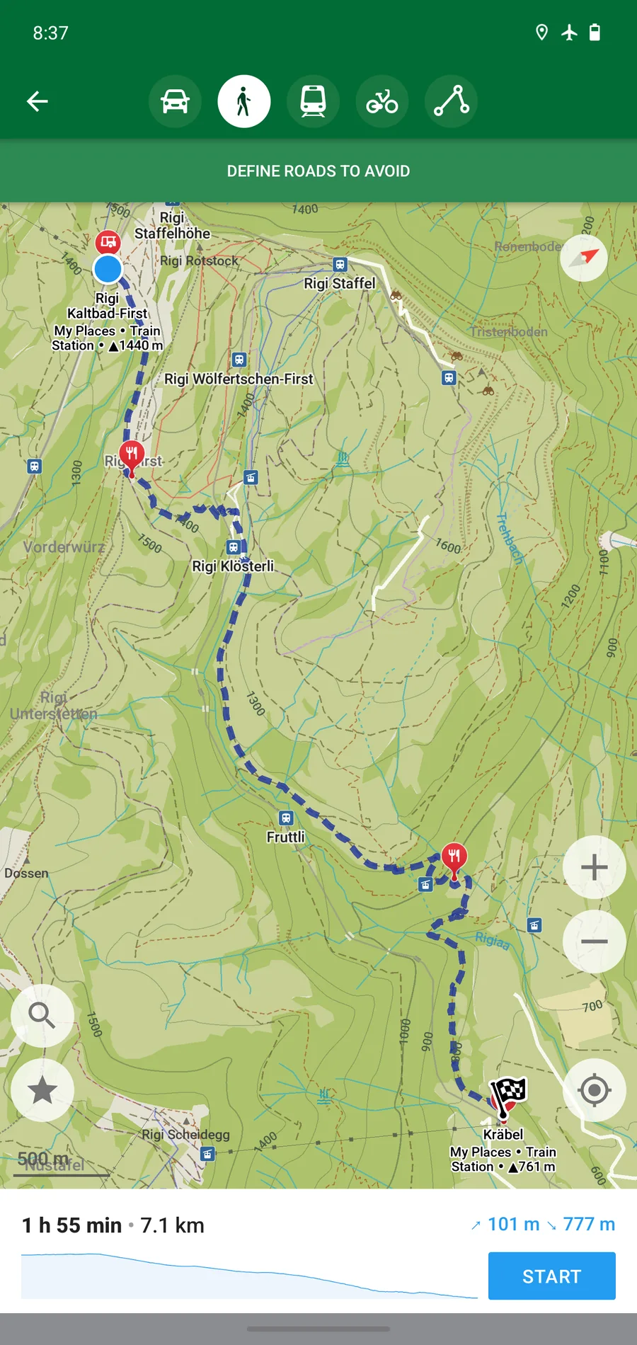
Organic Maps has a very restrained interface. Map, search, favorites and route buttons are all placed in easy-to-find locations. Commonly used processes do not require an account, and there are no advertisements interspersed. After the map is downloaded, the mobile phone can be positioned using only GPS. GPS positioning itself does not consume mobile data, but downloading the map for the first time and updating data later still require an Internet connection.
The map content comes from OpenStreetMap, and the level of detail will vary depending on the region and volunteer maintenance. Popular cities and common outdoor routes are often informative, while a few areas may lack new roads, shops or real-time traffic information. When preparing for a long trip or outdoor activity, it is recommended to download maps in advance, check the route, and keep necessary backup plans.
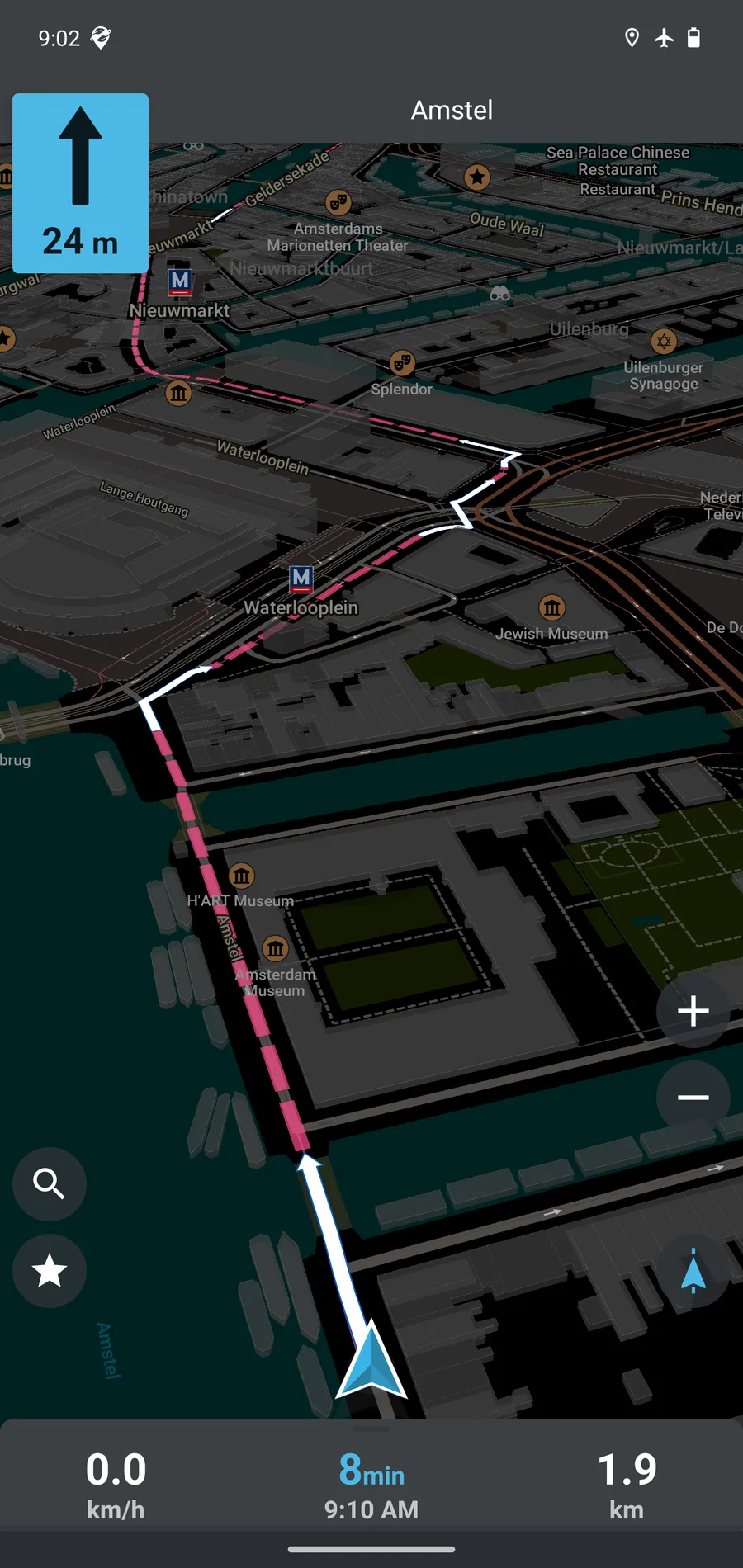
Organic Maps is free for Android and Apple, with no subscriptions, feature paywalls, or ads. The project continues to be developed through donations and community contributions. The application source code adopts the Apache-2.0 license. Map data, fonts and some third-party resources each comply with the corresponding license. When redistributing, the attribution information needs to be retained according to the project description.
Organic Maps is great for preloading maps into your phone and then quietly searching and navigating. Ordinary users can install it from the app store, download the regional map, enter their destination, and then complete the core process. The official store shows that the Android version has been downloaded more than five million times, and the Apple store has also accumulated thousands of ratings. The project scale and long-term maintenance are relatively solid.
Its limitations are also very clear. Offline maps take up space, real-time traffic conditions and some public transportation dynamics still require the cooperation of other services, and map details are also affected by the quality of local OpenStreetMap data. City commuters can use it as a refreshing backup map, while hiking and travel users can more easily appreciate the value of offline search, route and track functions.
The current Android stable version is 2026.07.23-6, released on July 23, 2026. The official general APK is about 61.17 MiB, including ARM and x86 architectures. This version is updated to OpenStreetMap data on July 14, improves business hours display, route guidance and bookmark saving, and makes warnings such as toll roads, ferries, unpaved roads and stairs cover all alternative routes, while fixing multiple crash issues and Chinese wording.